Island Drawings
Island drawings
Scroll for projects. Click thumbnail to enlarge image.
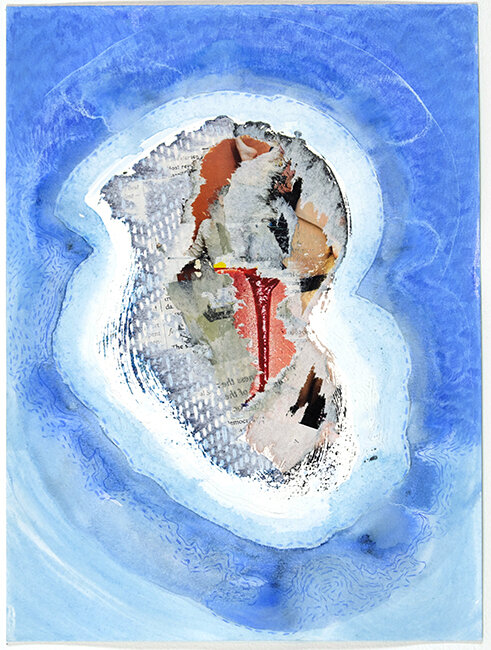
Nonations
The smaller islands of New York are the departure point for my drawing project Nonations. Many of these islands have histories of societal estrangement, quarantine, marginalization and violence. While some were or are populated with prisons, asylums, sanitariums, military camps, or retreats for the wealthy, most have long been abandoned and left literally for the birds.
Taking the basic elements of cartography - borders, legend keys, insets and the compass rose - I pull-apart, fold, reverse, cut and reorient them into new configurations. The paper support becomes distressed during this process, fragmenting it materially as well as the graphic information it contains. I conceive these island drawings as symbolic topographies of isolation.


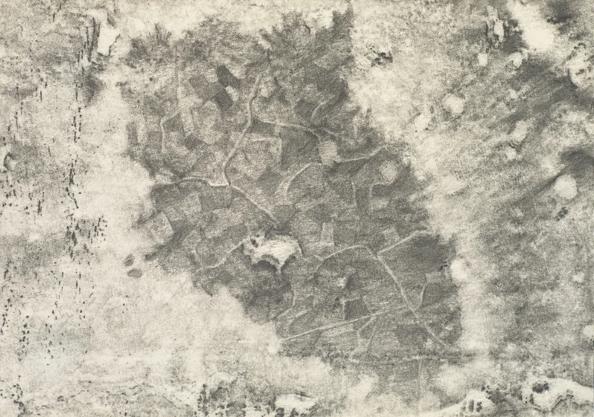
Flesh and Stone
“Flesh and Stone” conjoins a birthmark and a tomb (the earthquake-destroyed and concrete encased town of Gibellina, Sicily) to indirectly map an island and my relation to a heritage. Graphite rubbings and tracings are the initial mark making processes that generate these drawings. As indexical marks, they embody aspects of both documentation and absence - something I relate to the buried town of Gibellina and my distant heritage. The drawing approach that follows is a layered use of line, tonality and erasure into the two surfaces that inform the work.
Maps, ranging from geological formations to celestial bodies, invite me into a realm of memory and imagination. Although these drawings are anchored in very specific sources, it’s the intimations of ritual, religion, folklore, and the superstitions of Sicily that stir my curiosity. The literal coordinates of the birthmark and tomb transition into the poetry of evocative mapping.
All Drawings: 2009. 8 1/4 x 11 3/4" inches. Graphite on paper.


Blind Navigations / Phantom Islands
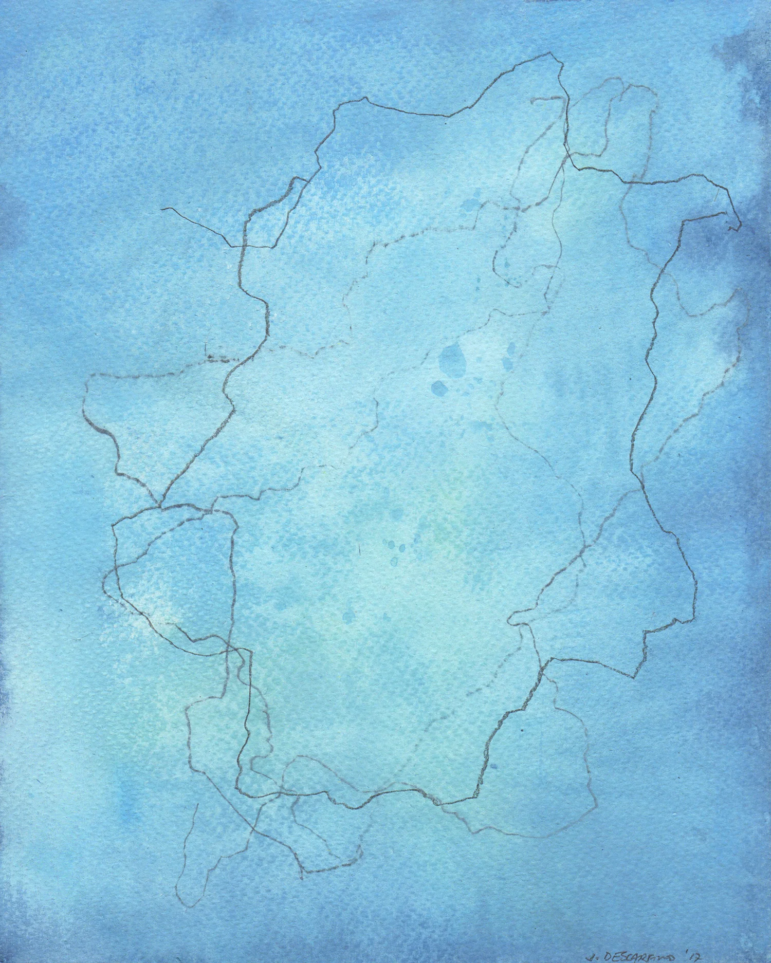
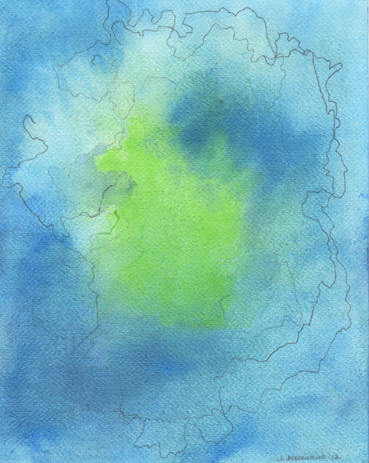
My series of mixed-media renderings of St. Brendan's Island, Buss Island, Hy-Brasil, Frisland and St. Matheus Island leads to both factual and fictional terrain. Through mark-making, touch and chance, I explore how one orients and familiarizes oneself with an unknown, perhaps unknowable territory.
The islands referenced in the series are just a handful of the dozens of 'lands' known as 'phantom islands'—those that appear on old maps, and that sometimes continued to appear for hundreds of years, but that never existed or can no longer be found. The stories behind their repeated cartographic documentation tell of things ranging from navigational accidents, misidentified objects and the Fata Morgana phenomenon, to clever attempts by shrewd explorers to entice potential funders to back their expeditions. Since navigation and travel are intricately connected to storytelling, it’s no surprise that tales of mythic proportions developed around some of these phantom islands.
Intrigued by questions related to searching for, mapping and defining things that cannot necessarily be seen, I set out to find relevant drawing processes I could use to turn these 'invisible islands' into subject matter. I begin each cartographic line rendering with a blind circumnavigation of a particular phantom island. I then cover the blind drawing with fluid washes of watercolor followed by repeated attempts at blind navigation.
All drawings: 2017. 10 x 8" inches. Graphite, colored pencils, and watercolor on paper.